The city behind the famous façade
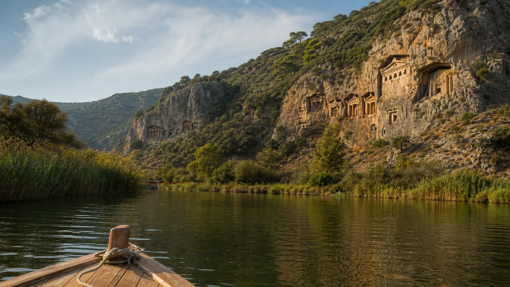
The temple-front rock tombs above Dalyan are the most recognisable image of Kaunos, yet they are only one part of an ancient city. Kaunos developed near a strategic harbour between Caria and Lycia. Its archaeological landscape includes a theatre, baths, agora, sanctuaries and harbour-related structures. Reducing the place to a photograph from a boat erases the city that made the tombs meaningful.
The monuments were cut into the cliff for elite burials. Their columned façades echo built architecture, turning the rock face into a statement visible across the valley. Exact dates and interpretations belong to continuing archaeological study; a responsible article avoids invented kings and romantic legends presented as fact.
How geography rewrote Kaunos
In antiquity, Kaunos was linked closely to the sea. Sediment carried through the Dalyan system gradually altered the shoreline and contributed to the silting of the harbour. Today the ruins sit inland behind wetlands and channels. That distance is not a mystery—it is evidence of a changing delta.
This is where natural and cultural stories meet. The same sediment processes that shape lagoons and Iztuzu help explain why an ancient port no longer looks like a port.
Viewing from the river versus visiting the site
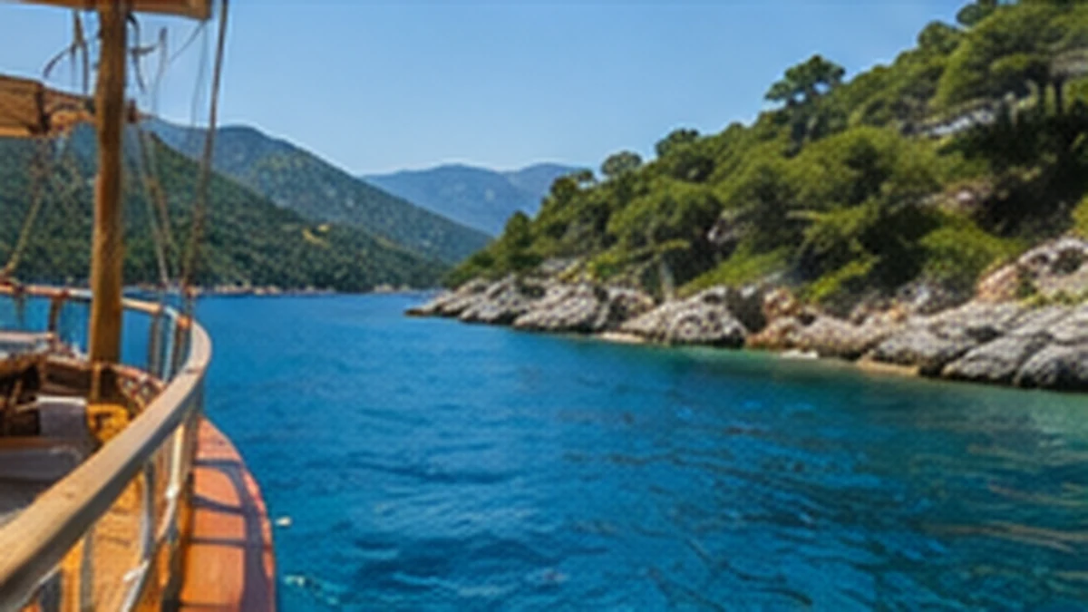
A Dalyan boat route may offer a fine framed view of the cliff tombs, depending on direction, light and stopping rules. It does not automatically include entry to the Kaunos archaeological site. Walking the ruins is a separate experience with current opening hours, ticket conditions, heat and uneven ground to consider.
Ask what your selected Dalyan programme from Sarigerme includes. A private Dalyan boat plan may allow a different pace, but cannot override navigation, archaeological or protected-area rules.
Photograph without harming the place
- Use distance and zoom; never climb the rock face.
- Do not touch, trace or wet carved surfaces.
- Stay on authorised paths if entering the site.
- Carry water, sun protection and shoes suitable for uneven ground.
- Keep drones subject to current archaeological, aviation and local restrictions.
The best view may be a quiet one: reflected cliffs, reeds and tombs in the same frame show the long relationship between city and delta.
A layered day from Sarigerme
Kaunos belongs in a broader narrative linking archaeology, river trade, wetlands and the modern town of Dalyan. Combine this guide with our delta wildlife article so culture does not displace nature—or vice versa.
Primary visitor reference: Türkiye’s Ministry of Culture and Tourism Kaunos cultural inventory. Confirm live entrance information through official channels before travel.
For guests planning a Sarigerme holiday, first-time visitors and travellers comparing local day trips.
Explore the area mentioned in this guide on the map.
FAQ
Can I see the Kaunos tombs from a Dalyan boat?
Many river routes offer a distant view, but visibility and stopping depend on the route and current navigation conditions.
Does a Dalyan boat tour include entry to Kaunos?
Not automatically. River viewing and entering the archaeological site are separate; check the exact programme.
Why is ancient Kaunos now inland?
Long-term sedimentation and delta change altered the shoreline and contributed to silting of its harbour.